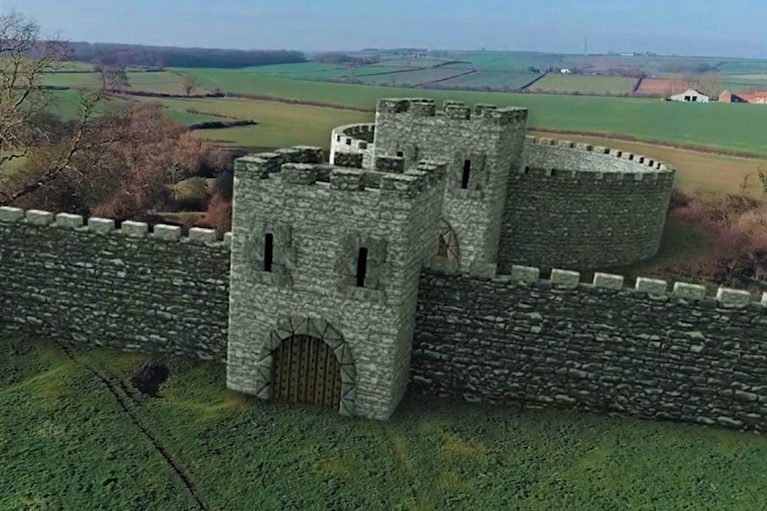
Gain a better perspective by taking advantage of our aerial services and take peace of mind that all of our aerial work is planned and carried out by CAA approved pilots. There are many aspects to our drone services, from thermal cameras that offer superior protection in low light situations to accurate cameras for data collection for use with photogrammetry.
Thermographic Inspections
- Highlight building thermal deficiencies
- Data collection for agricultural use
- Assist with building air test
- Detection of electrical faults
- Safely remove the risk of working at height
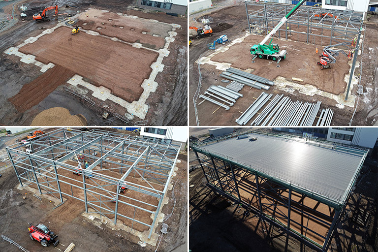
Aerial Progress Photos
- Record large areas with more clarity than the human eye
- Help the Construction team to monitor site more efficiently
- Invaluable data package to track your project
- Monitor site safety
- Media to promote your project
Environmental Surveys
- Assist in Ecology Surveys
- Identify any potential constraints to site development
- Flood risk assessment
- Crop Inspection
- Pollution Assessments
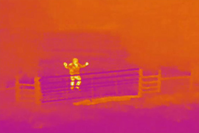
Security
- Safely and efficiently locate intruders on large estates
- Cover vast areas day or night
- Keep assets safe
- Yearly security subscription plans with multiple call outs available
- Outdoor events monitored for security breaches
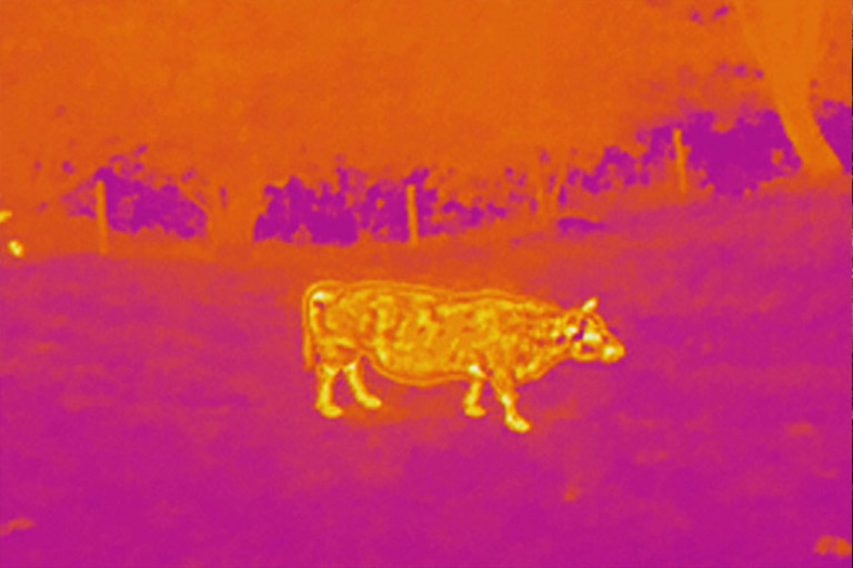
Rescue
- Locate missing livestock easily with thermal imagery
- Get good quality images of hard to reach areas
- Assess the risk of the rescue environment
- Cover large areas efficiently
- Monitor fire evacuations
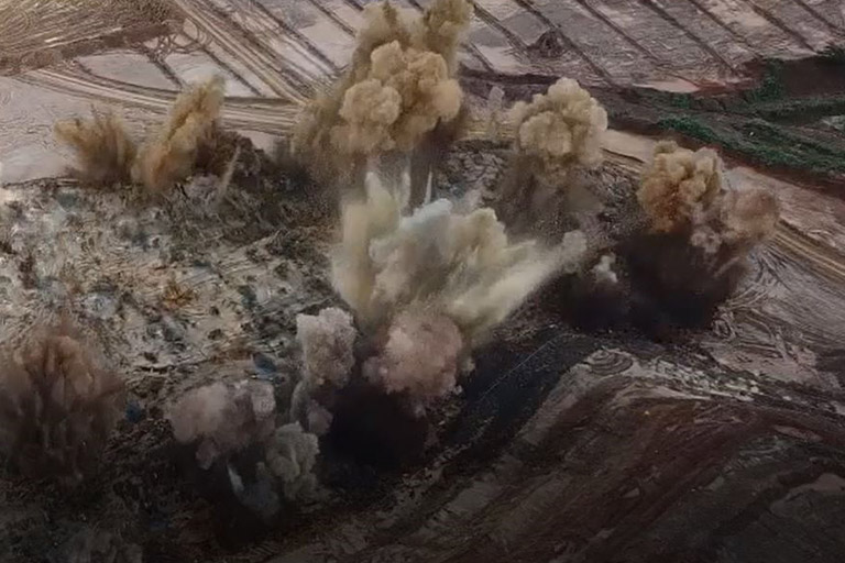
Quarry Services
- Blast Monitoring safely to confirm successful blast
- Survey hawl road and gradient checks
- Quantities of aggregate calculated
- Fence and perimeter surveys
- Plot rock face for explosive strategies
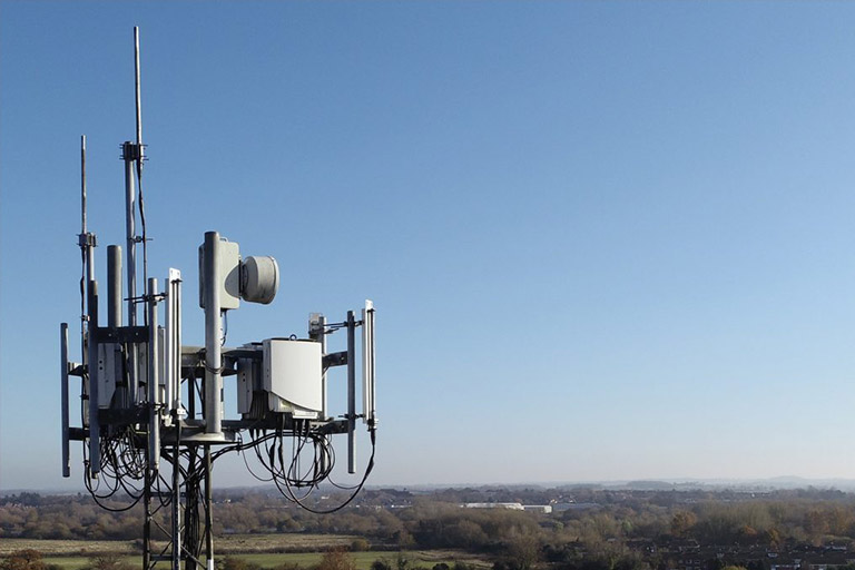
Inspection
- Collect high definition images
- Roof inspections
- Off shore oil rig condition survey
- Windfarms inspected in good time
- Damaged solar panels identified to improve performance
Media
- Point cloud and data collection for use with CGI
- Add depth to your media with a wide range of exclusive shots
- Specialist in action shot capture
- Promotional material for your website
- Packages for all budgets catered for
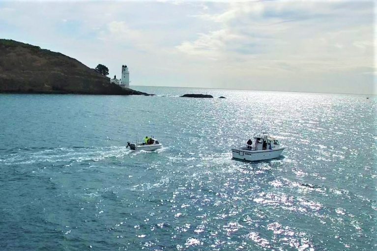
Marine and Coastal Aerial Surveys
- Survey of remote, inaccessible areas
- Monitor erosion rates
- Observe and identify marine activity
- Mapping coastal marine debris
- Offshore infrastructure surveyed safely
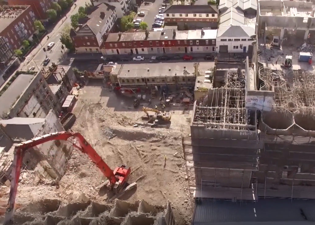
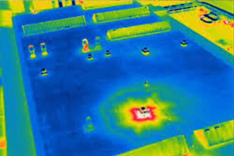
Demolition
- Monitor hard to reach demolition areas
- Evaluate condition of neighbouring structures
- Check that controlled demolition areas are safe to access
- Underground fires detected with Thermographic services
- Check for intruders on unsafe demolition sites after working hours